
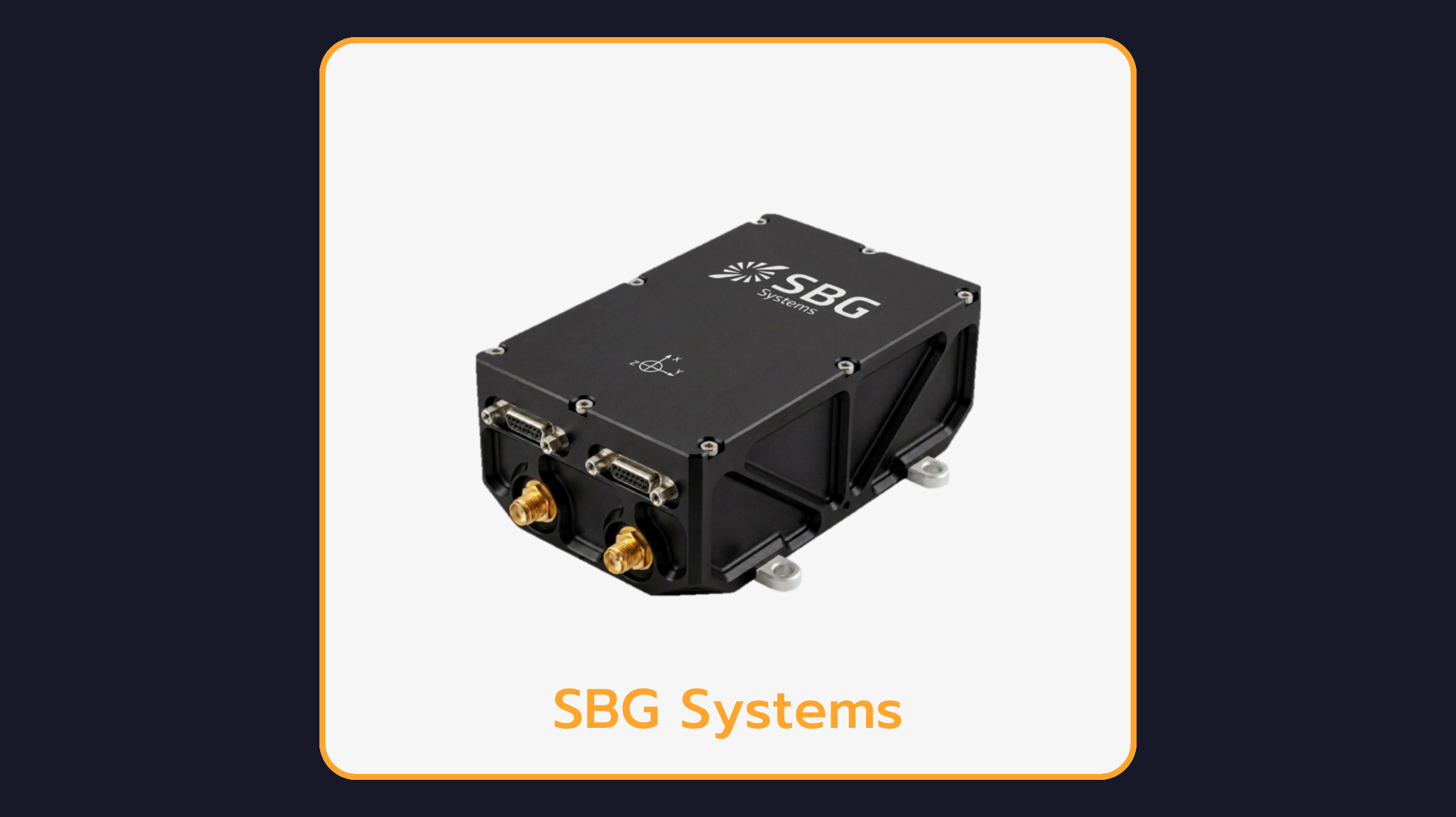
Stellar-40 Tactical-Grade Inertial Navigation System
Stellar-40 is a tactical-grade GNSS-aided inertial navigation system driven by the SAF2Nav stack for unmatched resilience. It combines a tactical-grade IMU, a jamming- and spoofing-resilient GNSS receiver and advanced sensor-fusion algorithms within a rugged enclosure.

Merging high-end performance with industrial flexibility, Stellar-40 features a unique triple-layer vibration mitigation architecture in a design optimized for scalability, meeting the rigorous demands of mass production.

With this launch, SBG Systems further expands its portfolio of inertial navigation solutions tailored for mission-critical applications.